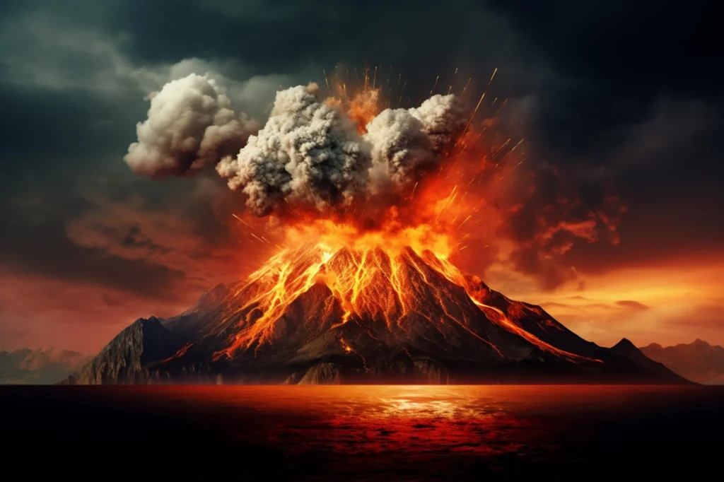
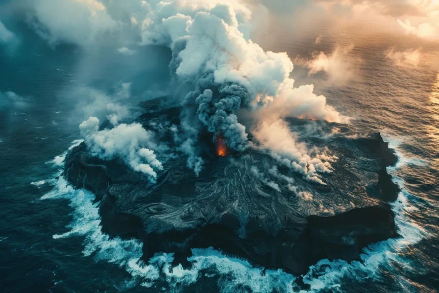
Volcanic eruptions have long fascinated scientists and the public, inspiring awe and concern. These powerful natural events can potentially cause widespread devastation, disrupting lives, economies, and ecosystems. While we cannot prevent volcanic eruptions, advances in volcanic eruption prediction have significantly improved our ability to anticipate them, providing crucial lead time for evacuations and disaster preparedness.
As we look ahead to 2025, volcanologists continue refining and expanding their forecasting techniques. By integrating traditional monitoring methods with cutting-edge technology, scientists are working toward more accurate and reliable predictions. This article will explore five proven techniques used in volcanic eruption prediction.
Must Read: Top 10 Most Dangerous Volcanoes on Earth
The Importance of Volcanic Eruption Prediction
Volcanic eruptions threaten human populations, infrastructure, and even global air travel. In the United States, several volcanoes, including those in Alaska, the Pacific Northwest, and Hawaii, remain active and require constant monitoring. The unpredictability of these natural disasters underscores the importance of volcanic eruption prediction, allowing scientists to provide early warnings and minimize potential damage.
Why Accurate Volcanic Eruption Prediction Matters
- Protecting Lives – Timely warnings can help evacuate communities before an eruption occurs.
- Minimizing Economic Losses – Infrastructure, businesses, and agriculture can suffer severe damage if eruptions catch regions unprepared.
- Ensuring Safe Air Travel – Volcanic ash clouds can severely impact aircraft, posing risks to flight safety.
- Preserving Ecosystems – Understanding eruption patterns can help mitigate long-term environmental damage.
Now, let’s delve into the five primary methods used for volcanic eruption prediction in 2025.
Method 1: Seismic Monitoring
How Seismic Monitoring Works
Seismic monitoring is one of the most reliable techniques for predicting volcanic eruptions. This method detects and analyzes the vibrations caused by magma movement beneath the Earth’s surface. Specialized instruments called seismometers record and measure these ground movements, helping volcanologists identify early warning signs of an impending eruption.
Seismic Monitoring in the United States
The U.S. Geological Survey (USGS) has established a vast network of seismic monitoring stations across the country, particularly in high-risk areas like:
- Hawaii (e.g., Kilauea, Mauna Loa)
- Alaska (e.g., Mount Redoubt, Mount Spurr)
- Pacific Northwest (e.g., Mount St. Helens, Mount Rainier)
Seismic monitoring stations provide real-time data on earthquake swarms—clusters of small tremors often preceding eruptions—allowing scientists to issue alerts before significant volcanic activity occurs.
Notable Success Stories
- Mount St. Helens, Washington (1980): Seismic activity provided crucial early warning signs before the catastrophic eruption.
- Kilauea, Hawaii (2018): Increased seismic activity allowed authorities to warn residents ahead of the eruption, reducing casualties.
Must Read: A Guide to the 6 Most Dangerous Forms of Volcanoes
Method 2: Ground Deformation Analysis
What Is Ground Deformation?
As magma rises and accumulates beneath a volcano, it exerts pressure on the surface, causing ground deformation—the swelling, sinking, or shifting of the Earth’s crust. Monitoring these deformations can help scientists anticipate potential eruptions.
Techniques Used for Ground Deformation Monitoring
- GPS Stations – Track even the slightest ground shifts with pinpoint accuracy.
- Satellite-based InSAR (Interferometric Synthetic Aperture Radar) – Uses radar signals to detect land surface changes over time.
- Tiltmeters – Measure ground tilting caused by magma pressure.
Real-World Applications
Ground deformation analysis has been instrumental in predicting eruptions, such as:
- Mount St. Helens (2004-2008): Scientists detected significant uplift before volcanic activity resumed.
- Mauna Loa, Hawaii: GPS and satellite data identified inflation in the volcano’s summit, prompting increased monitoring efforts.
Method 3: Gas Emission Monitoring
How Volcanic Gases Help Predict Eruptions
Volcanoes release gases such as sulfur dioxide (SO₂), carbon dioxide (CO₂), and water vapor. Changes in gas emissions often indicate rising magma, making gas monitoring a key component of volcanic eruption prediction.
Advanced Gas Monitoring Technologies
- Remote Spectroscopy: Using infrared and ultraviolet light, measures gas concentrations from a distance.
- Drone-Mounted Sensors: Provide direct gas sampling from active volcanic vents.
- Satellite-Based Observations: Detect large-scale gas emissions globally.
Case Studies
- Kilauea, Hawaii (2018): Increasing SO₂ emissions signaled the imminent eruption, allowing timely evacuations.
- Mount Redoubt, Alaska (2009): Gas monitoring helped predict explosive activity days in advance.
Also Read: The Science And Secrets Of The Mountains Of Fire
Method 4: Thermal Imaging
Why Temperature Changes Matter
Heat anomalies are often precursors to eruptions. As magma moves closer to the surface, it raises the temperature of surrounding rock and gases. Thermal imaging allows scientists to detect these changes from a safe distance.
Thermal Imaging Techniques
- High-Resolution Satellite Thermal Sensors – Detect broad-scale heat variations.
- Drone-Mounted Thermal Cameras – Provide real-time imaging of active volcanic zones.
- Ground-Based Thermal Imaging Stations – Continuously monitor surface temperatures in key locations.
Real-World Impact
- Mount Rainier, Washington: Thermal imaging detects geothermal activity that could indicate future eruptions.
- Yellowstone Caldera: Satellite thermal sensors track heat fluctuations, helping assess long-term volcanic risks.

Method 5: Machine Learning and AI in Volcanic Eruption Prediction
The Future of Volcanic Forecasting
Advances in machine learning and artificial intelligence (AI) are revolutionizing volcanic eruption prediction by analyzing vast datasets and identifying eruption patterns with greater accuracy.
How AI Improves Volcanic Eruption Prediction
- Data Integration: AI models combine seismic, gas, thermal, and ground deformation data for comprehensive analysis.
- Pattern Recognition: Machine learning detects subtle changes that may signal an impending eruption.
- Real-Time Alerts: AI-powered systems provide automated early warnings for authorities and the public.
Current Developments
The USGS Volcano Hazards Program is actively exploring AI applications to enhance eruption forecasting, paving the way for a more data-driven approach to volcano monitoring.
Conclusion: The Future of Volcanic Eruption Prediction
As we move into 2025 and beyond, volcanic eruption prediction advances, offering greater precision and earlier warnings. By combining traditional techniques like seismic monitoring and gas analysis with emerging technologies like AI and satellite imaging, scientists are improving their ability to forecast eruptions with unprecedented accuracy.
Understanding these methods is crucial for disaster preparedness for residents of the United States and other Tier 1 countries. The ultimate goal is not just to predict eruptions but to equip communities with the knowledge and time to make informed safety decisions.
“The goal of volcanic eruption prediction is not just to forecast when an eruption might occur, but to provide communities with the information they need to make informed decisions about their safety and preparedness.” — Dr. John Smith, Volcanologist.
By investing in research, technology, and education, we are moving toward a future where volcanic eruptions are no longer unpredictable disasters but manageable natural events. Volcanic eruption prediction is a scientific endeavor and vital for protecting lives, property, and the environment.


